Combine earth observation, geospatial and local data.
The challenge
AI-supported observation of urban change for timely and informed territorial decisions.
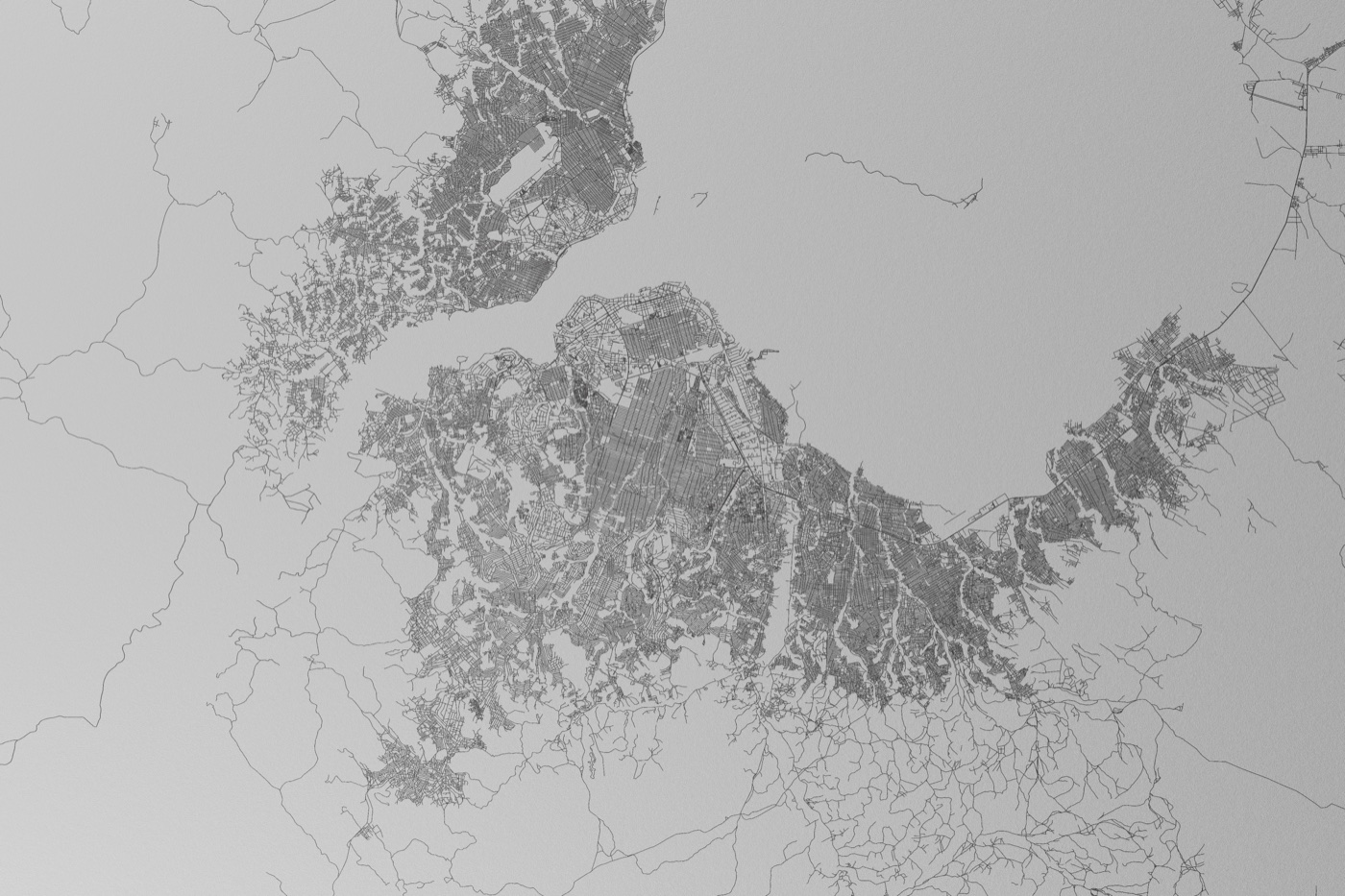
Rapid urban change often outpaces conventional surveys and planning cycles. Decision-makers need current, reliable and interpretable evidence about how territories evolve.
Our approach
From idea to lasting capability
Designed to become useful in practice.
Use responsible AI to detect and interpret urban change.
Translate observations into practical indicators and alerts.
Build local capacity to review and use the results.
What it enables
Knowledge that supports action.
More current territorial knowledge
Earlier detection of urban change
Clearer planning indicators
Stronger evidence for public action
The DGII foundation
01Data02Governance03Implementation04Impact